Mapping Australian history and culture
We acknowledge the Traditional Owners of country and pay our respects to Elders past, present and emerging. First Australians...
| Name | Nukunu Cultural Burning Day 1 Demo |
|---|---|
| Description | Preliminary archive of sites for cultural burns and other sites of significance that quantify 'Country' for Nukunu. |
| Type | Event |
| Content Warning | Please be advised that the photos and data currently uploaded to the TLC Map are in draft form and have not yet received approval or consent from the Nukunu Peoples. This content is intended solely for preliminary review and planning purposes. The final publication and use of these materials will be contingent upon obtaining the necessary permissions and respect for the cultural sensitivities of the Nukunu community. We appreciate your understanding and cooperation. |
| Contributor | Vernacular Knowledge Research Group |
| Entries | 12 |
| Allow ANPS? | No |
| Added to System | 2024-05-29 13:37:15 |
| Updated in System | 2024-06-18 13:07:48 |
| Subject | Nukunu, Cultural Burning |
|---|---|
| Creator | Julie Nichols, Fu Hong Tang |
| Publisher | |
| Contact | vernacularknowledge@gmail.com |
| Citation | |
| DOI | |
| Source URL | |
| Linkback | https://www.vkrg.org/cultural-burning |
| Date From | 2024-05-18 |
| Date To | 2024-05-19 |
| Image |
| Latitude From | -32.650831 |
|---|---|
| Longitude From | 138.122087 |
| Latitude To | -32.654806 |
| Longitude To | 138.125063 |
| Language | |
| License | |
| Usage Rights | |
| Date Created (externally) | 2024-05-29 |
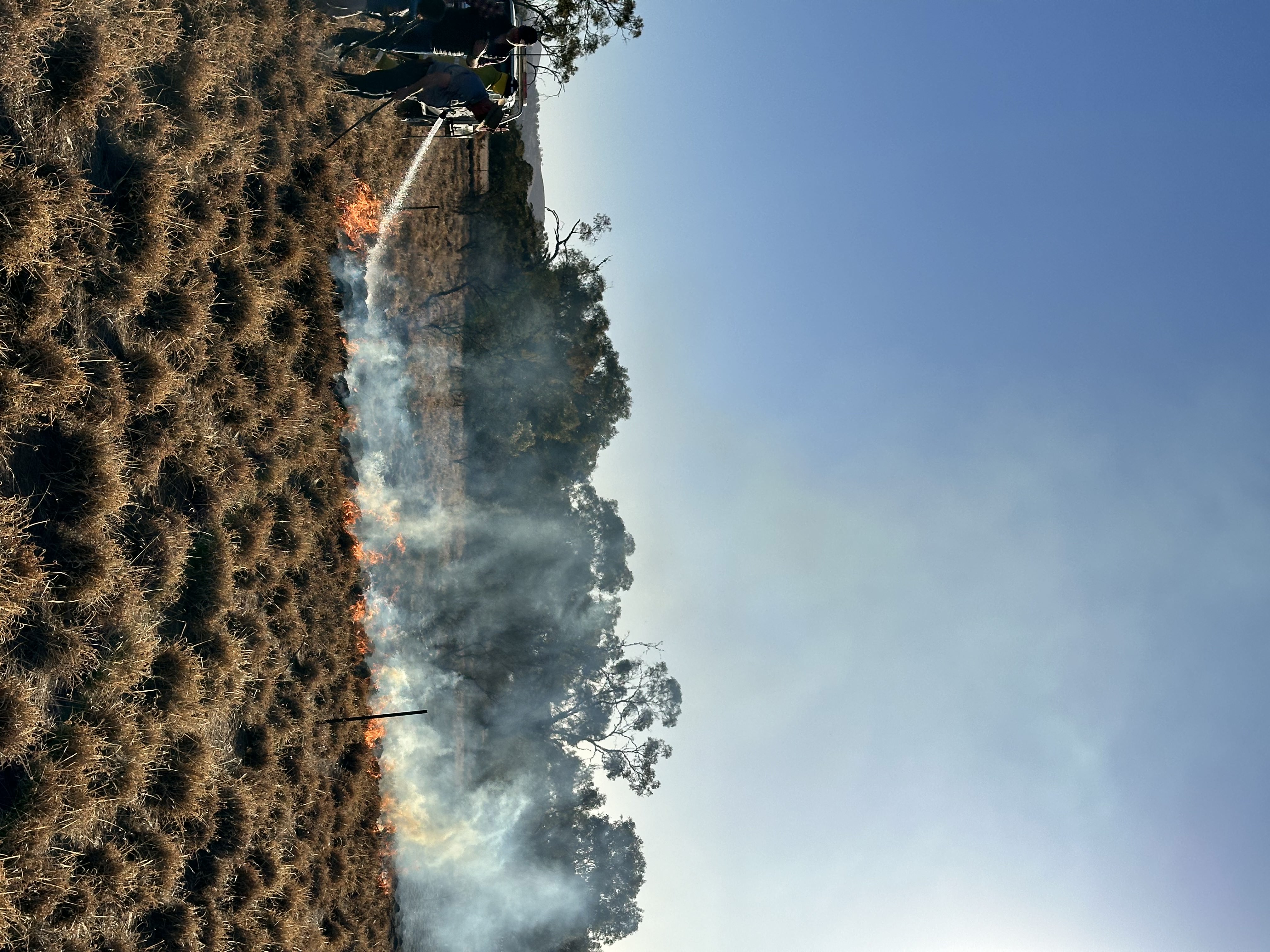
Image by Simon McClure.
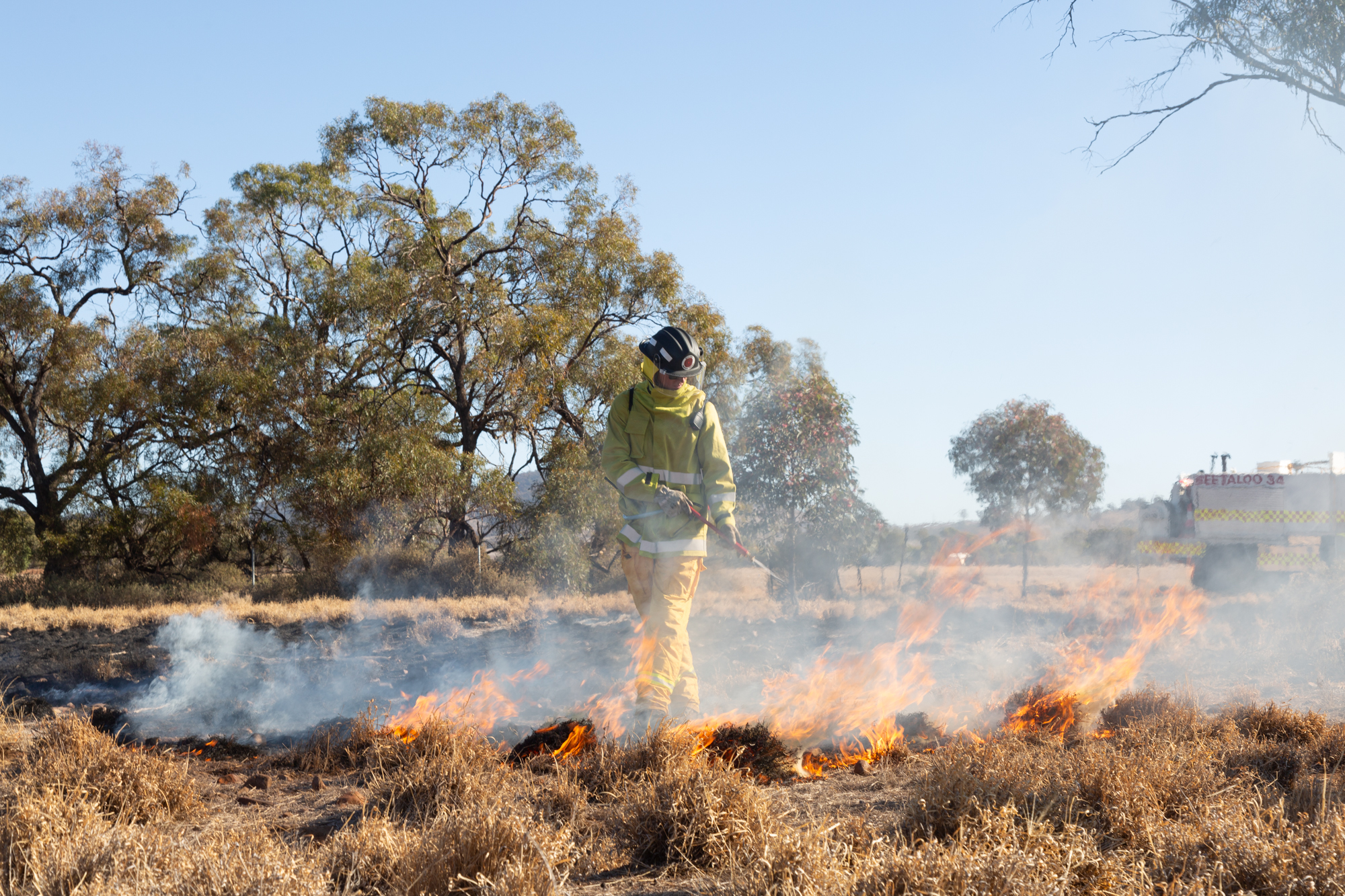
Image by Simon McClure.
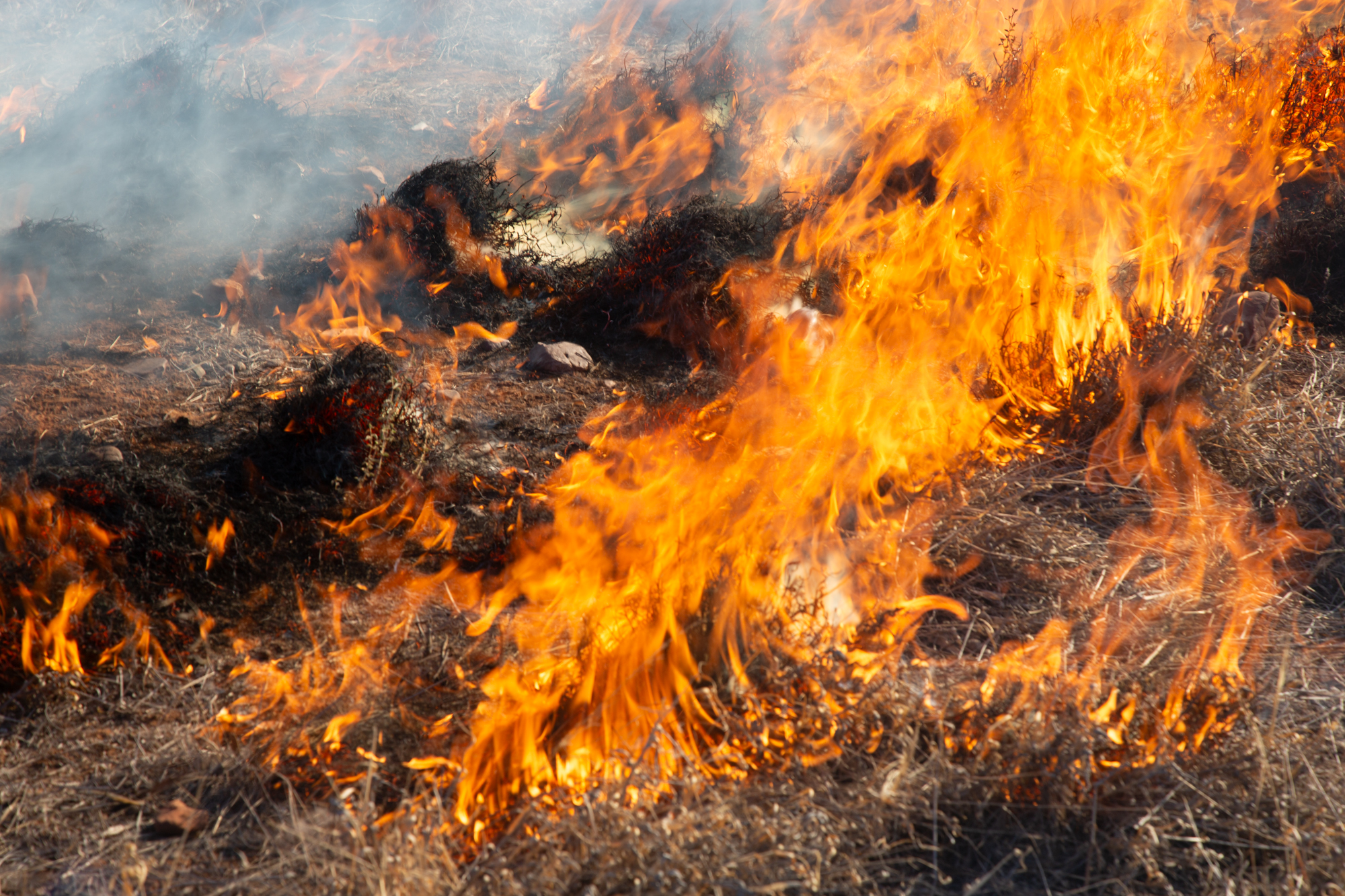
Image by Simon McClure.
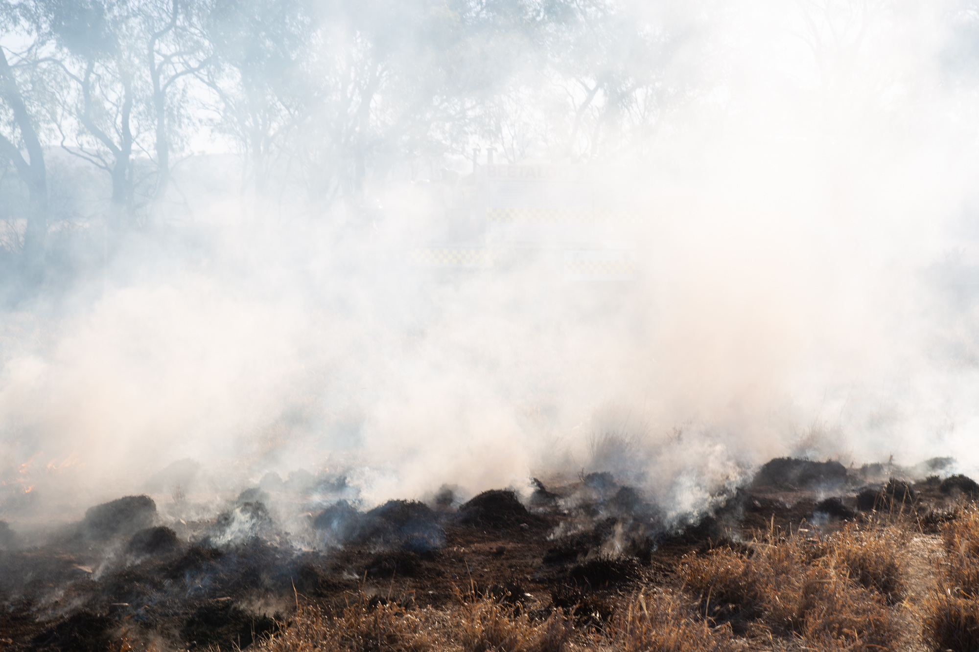
Image by Simon McClure.
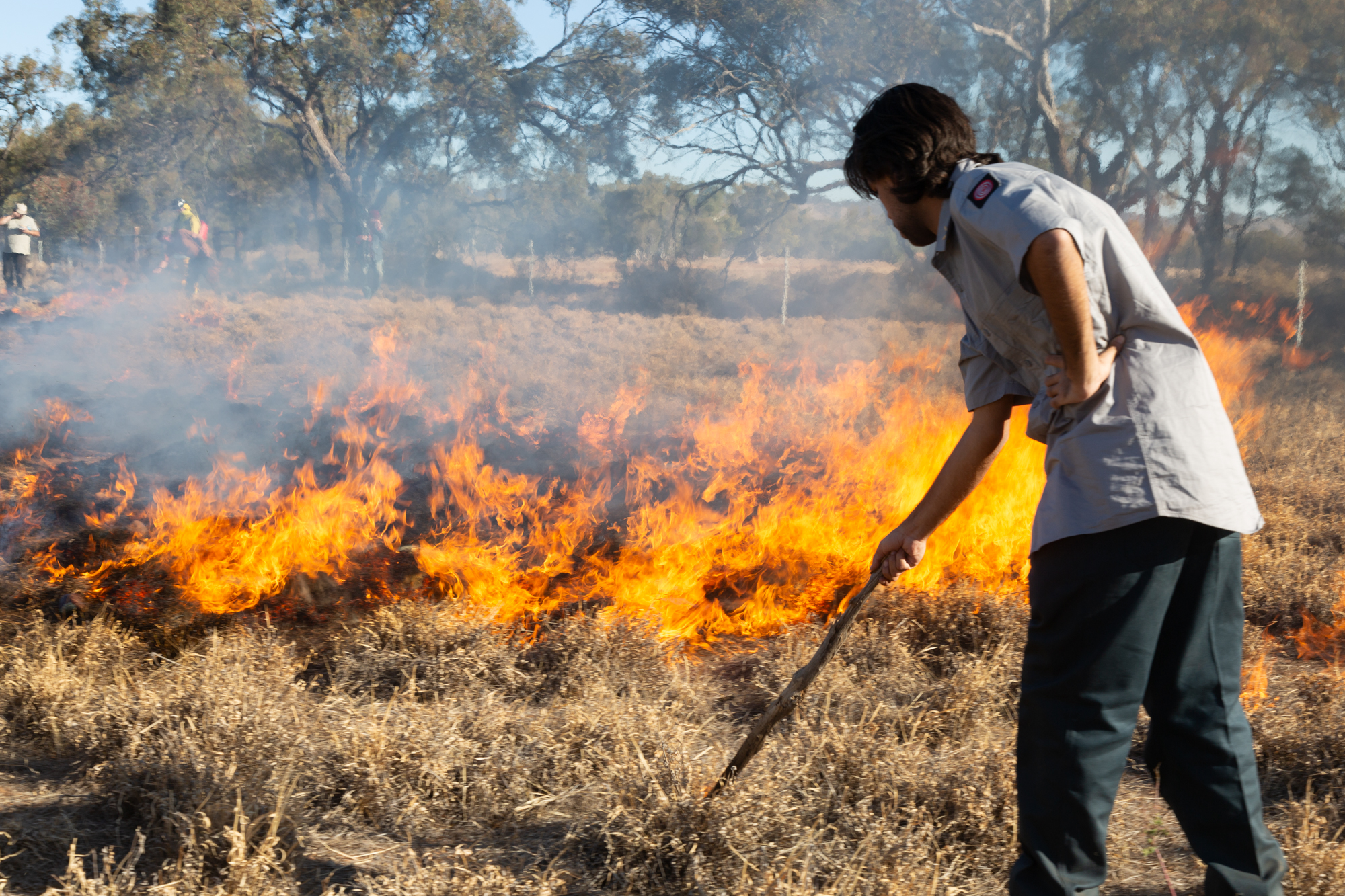
Image by Simon McClure.
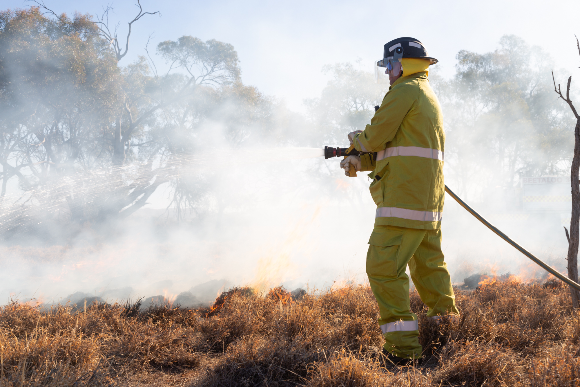
Image by Fu Hong Tang.
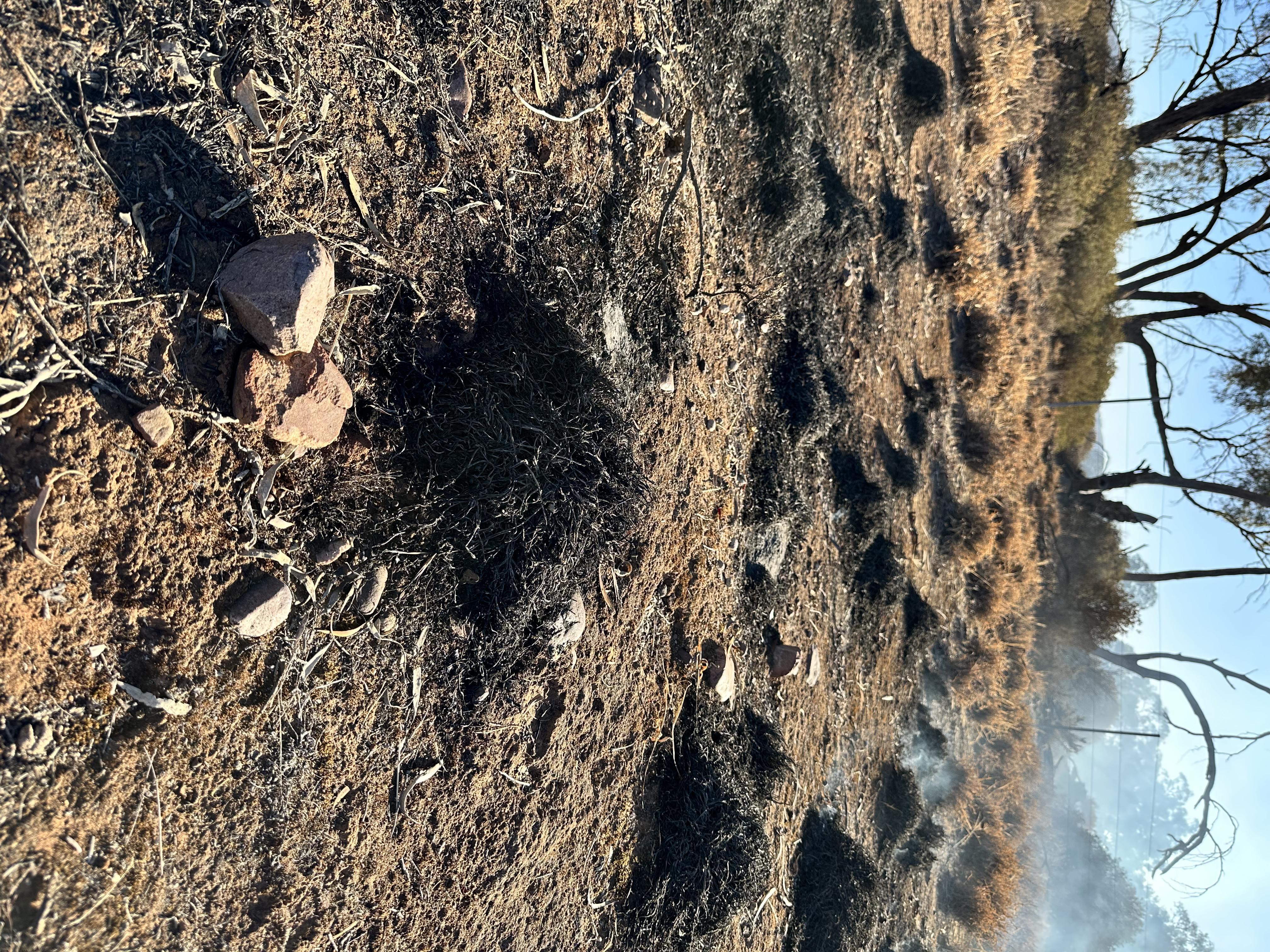
Image by Simon McClure.
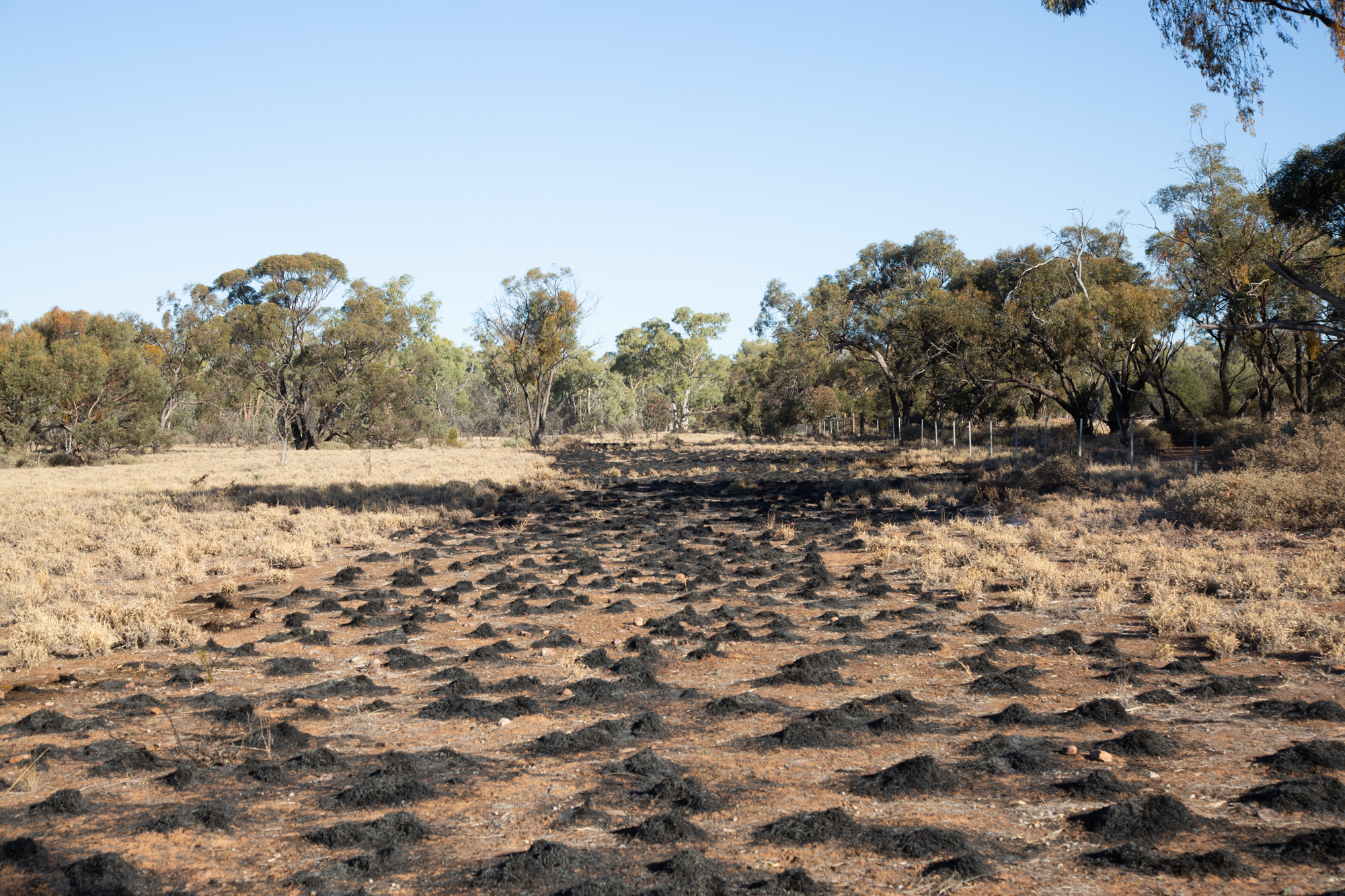
Image by Fu Hong Tang.
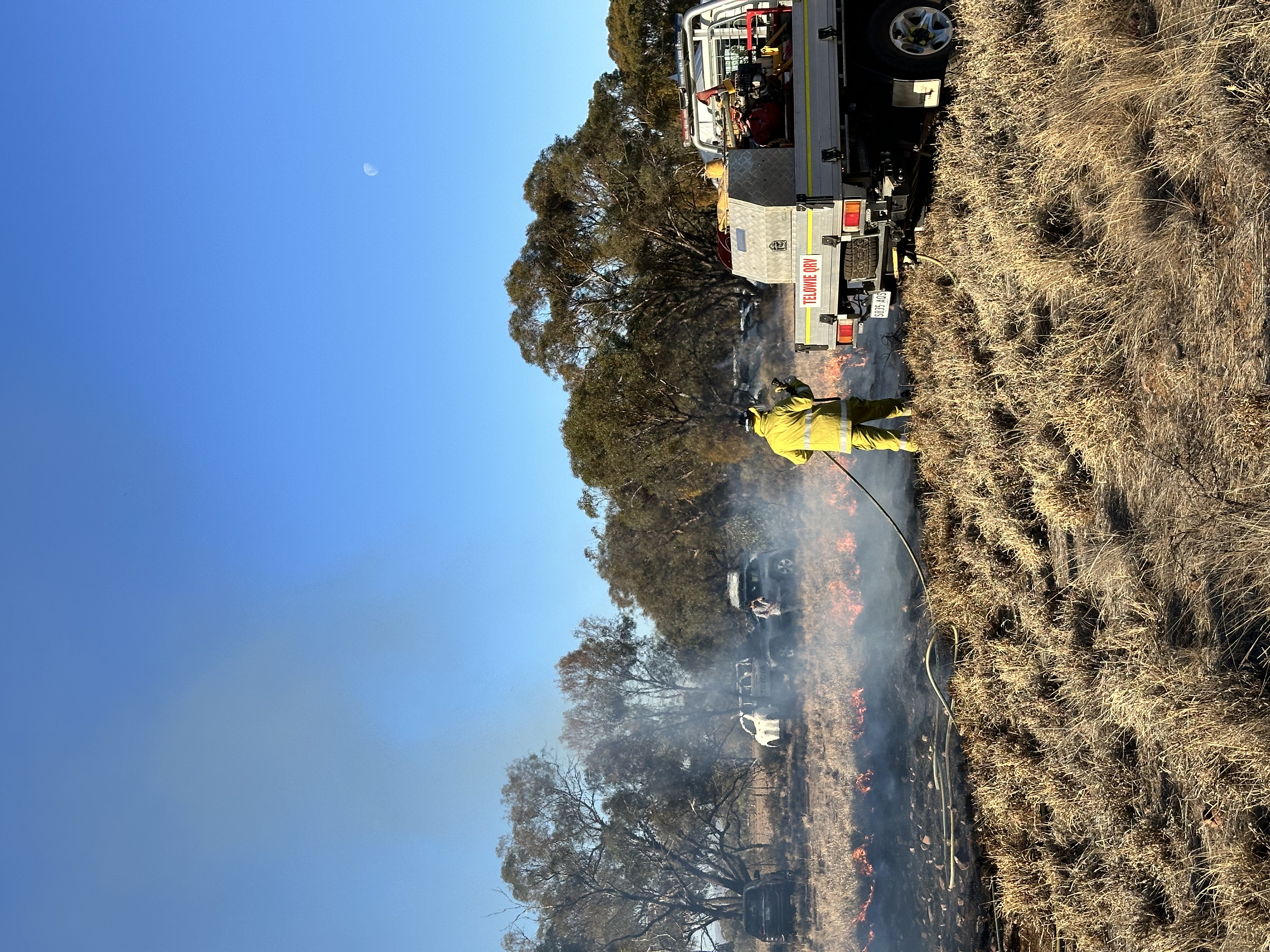
Image by Fu Hong Tang.
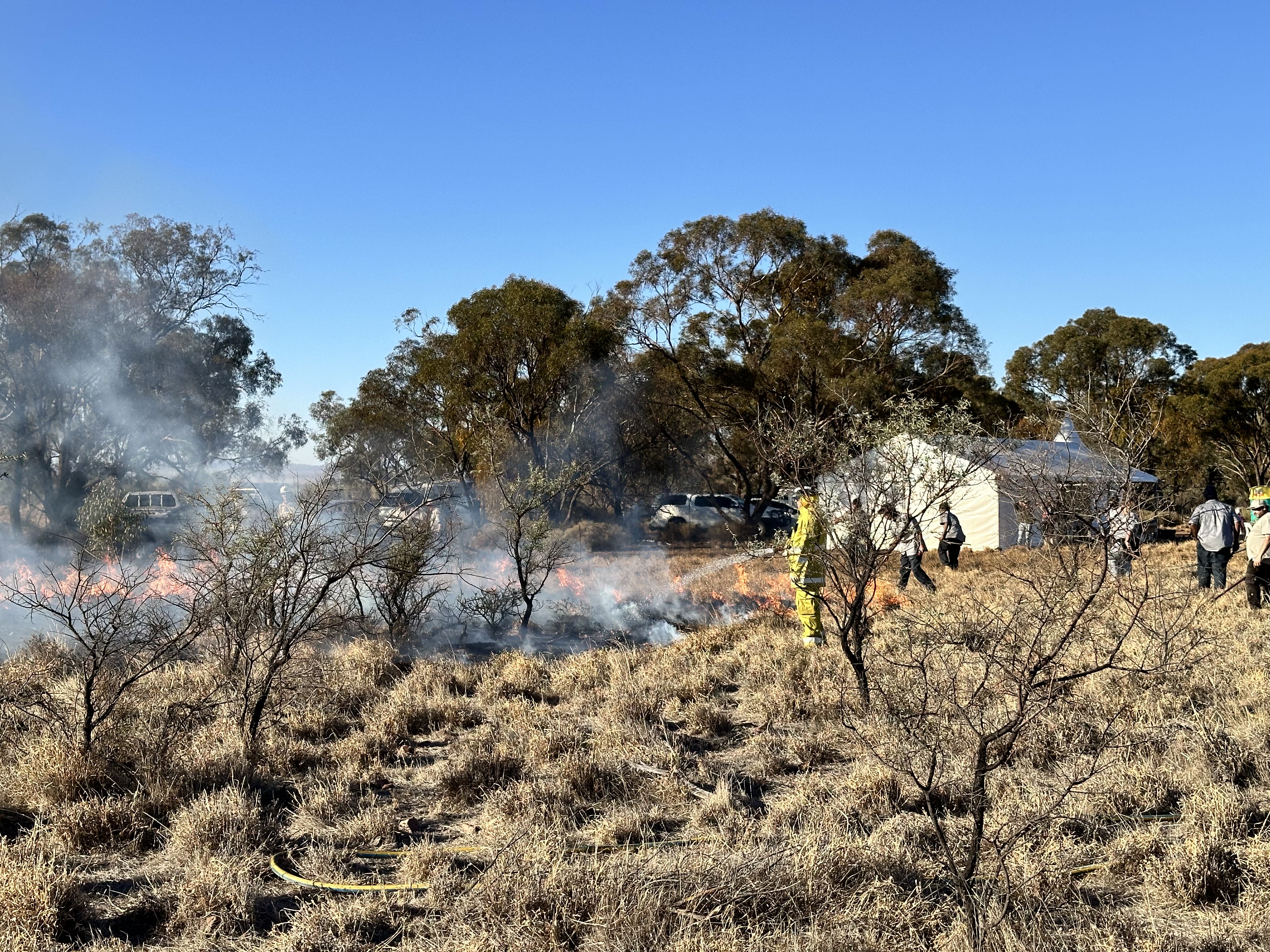
Image by Simon McClure.
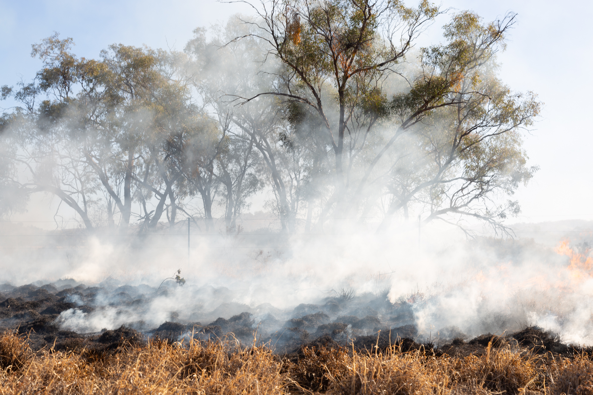
Image by Fu Hong Tang.
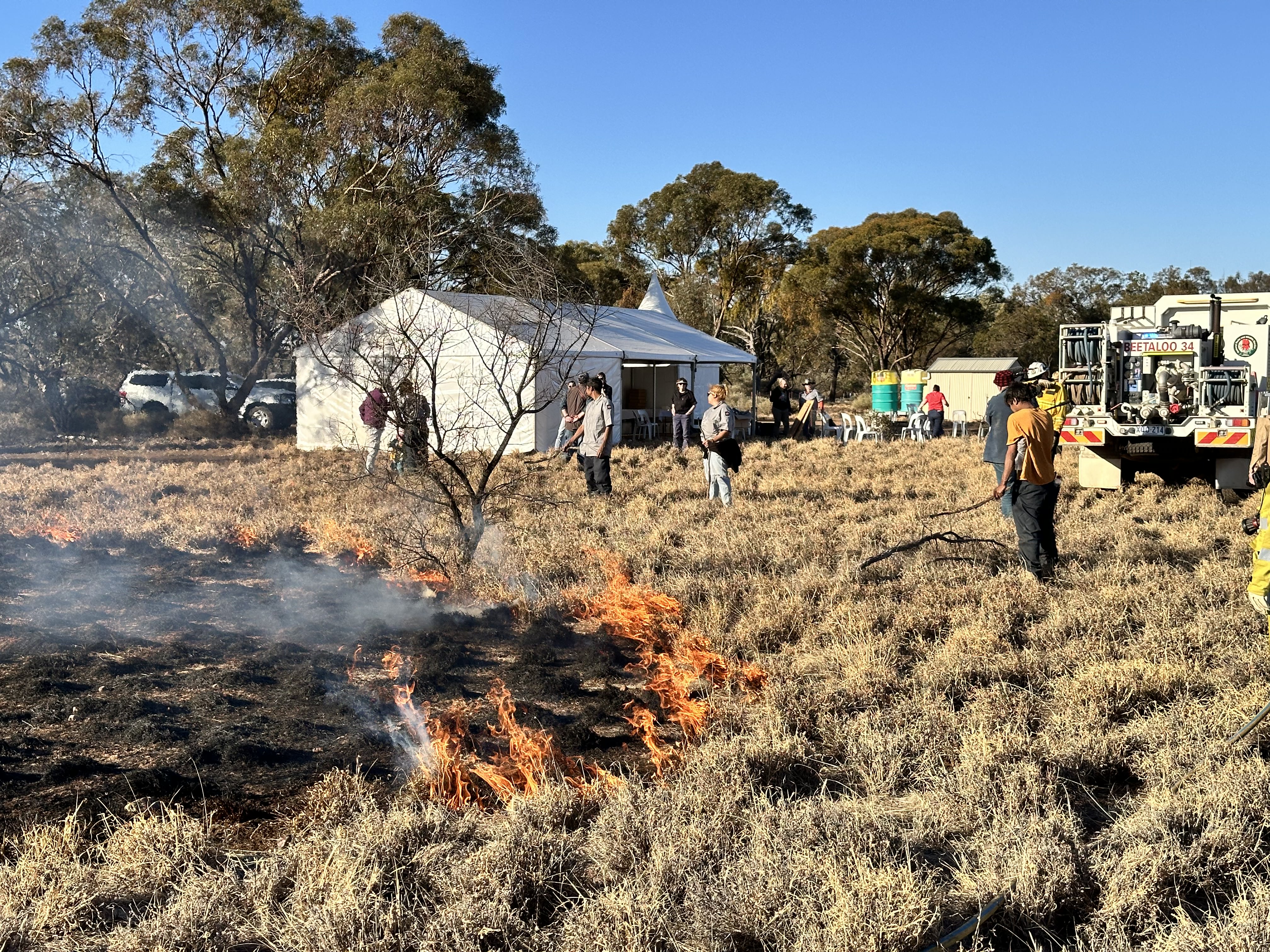
Image by Fu Hong Tang.